

Photos by © Adele Columbri
DESCRIPTION
- Starting from Riola di Vergato
- Counterclockwise loop
- Elevation gain 500 mt – Length 15 km
- Paths CAI164 – PV34 – PV30 PV29 – PV29A – PV23D – PV23 – PV19A – PV19
GO TO MAP
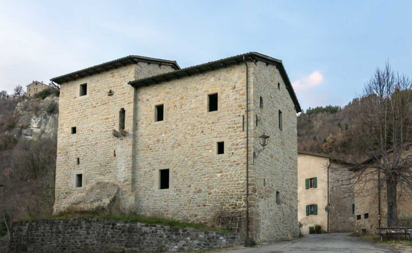
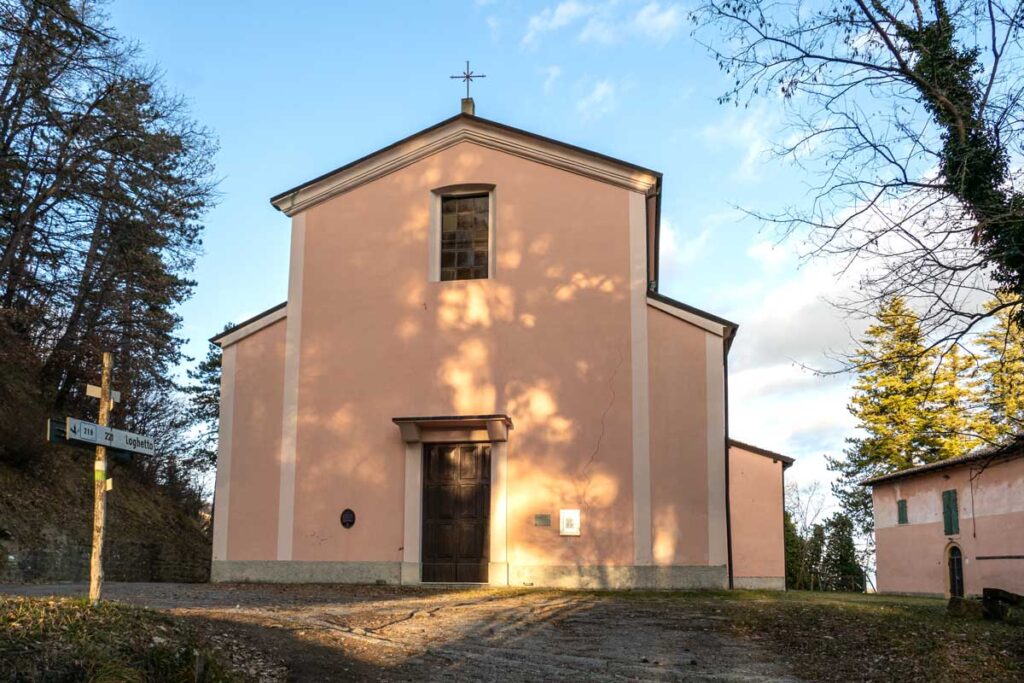
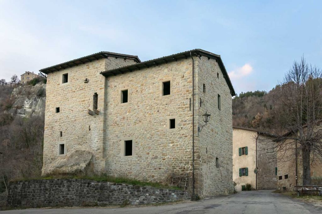
We start out from Riola di Vergato, in front of the Church of Santa Maria Assunta, the only work in Italy by the Finnish architect Aalvar Aalto. Once past the village of Riola, continue along CAI path 164 up to the houses of Palazzo d’Affrico, a hamlet of medieval tower-houses.
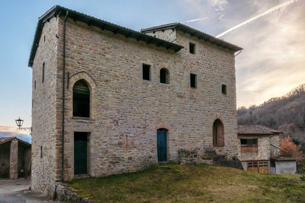
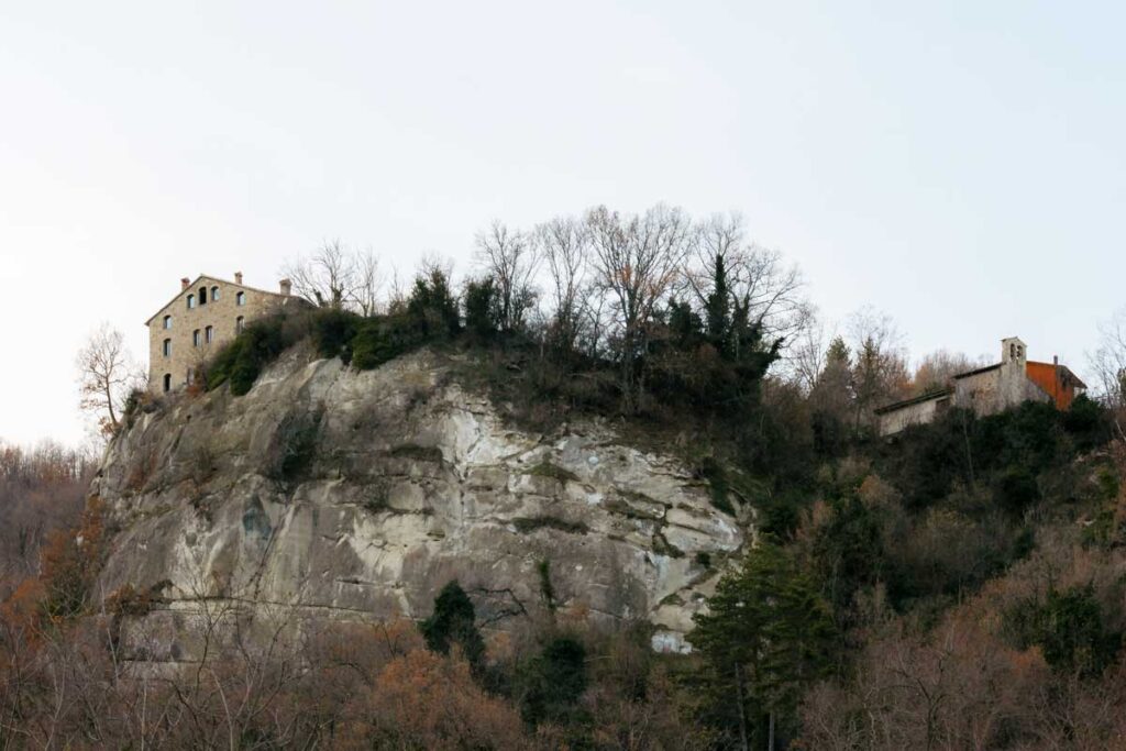
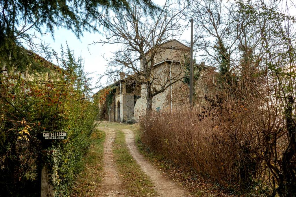
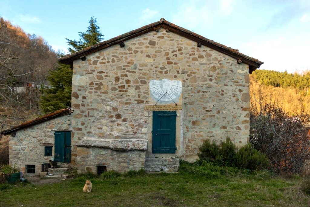
Continuing on, you reach the locality of Castellaccio, reminiscent of a fortified building. You can also admire a centuries-old sundial placed on a wall of a building and a breathtaking panoramic view.
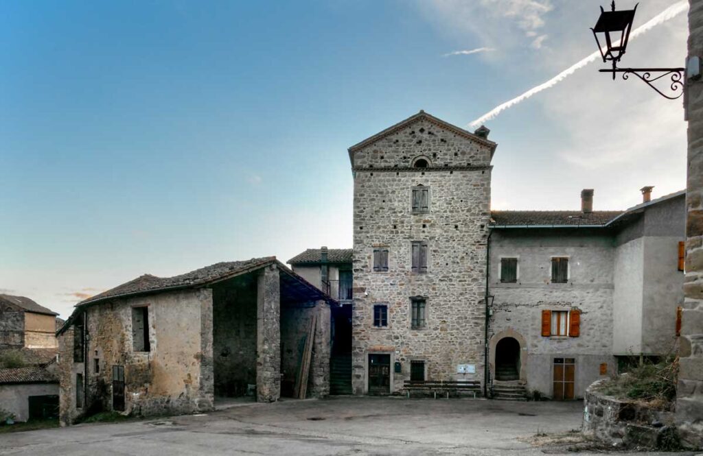
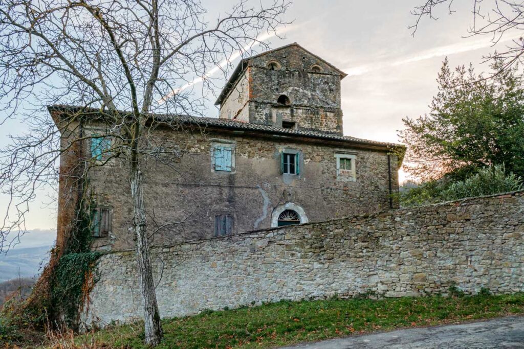
We leave the CAI path to take PV34 and PV29A to the left in the direction of Santa maria Villiana, where a short diversions, keeping to PV29, takes us to Affrico, one of the oldest hamlets in the area, seat of the important Pieve di Pitigliano, documented as early as 969.
The parish church of Affrico, dedicated to St John the Baptist, presents itself in the elegant forms of the Bolognese Baroque, due to the reconstruction carried out in the first decades of the 18th century, after a landslide destroyed the previous 17th-century church.
On the nearby Mount della Croce, there was an area inhabited since the Bronze Age.
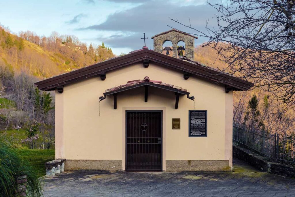
The parish church is dedicated to Santa Maria Assunta, adjacent to a small park of centuries-old chestnut trees.
From Santa Maria Villiana, we descend along trail PV23D and PV23 until we cross trail PV19A, which we follow alongside the Marano stream.
Then take the PV19, which crosses the Reno river and leads back to Riola di Vergato.
The route partly runs alongside the Marano torrent, amidst deciduous trees, oaks and chestnut trees.
This route was created by the Gaggio Montano municipality and is part of the set of new paths entitled ‘The paths of the Gaggio people’.
You can find the map of the paths and a guide to the area on the official site:
Comune di Gaggio Montano – Turismo e territorio
USEFUL TIPS
Like most hiking treks it is advisable to wear boots, long pants and wind jackets.
Stay safe with the GeoResQ app: this GPS based tracking service is run by the National Alpine and Speleological Rescue Organisation (CNSAS) and recommended by the Italian Alpine Club (CAI).
