


© photo Emilio Gadaleta
DESCRIPTION
- Walking distance : 4 hours
- Difficulty : Low
- Elevation : 350 meters
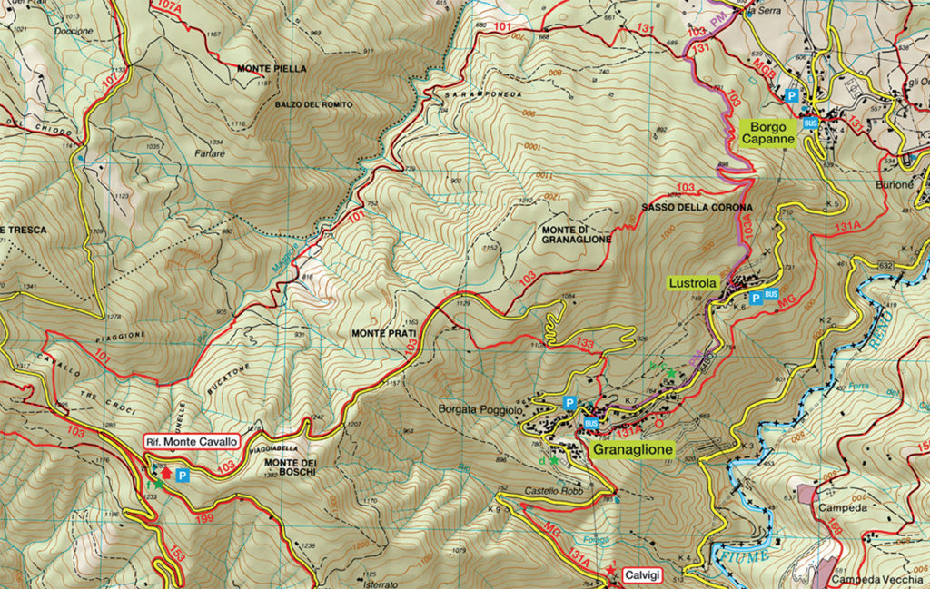
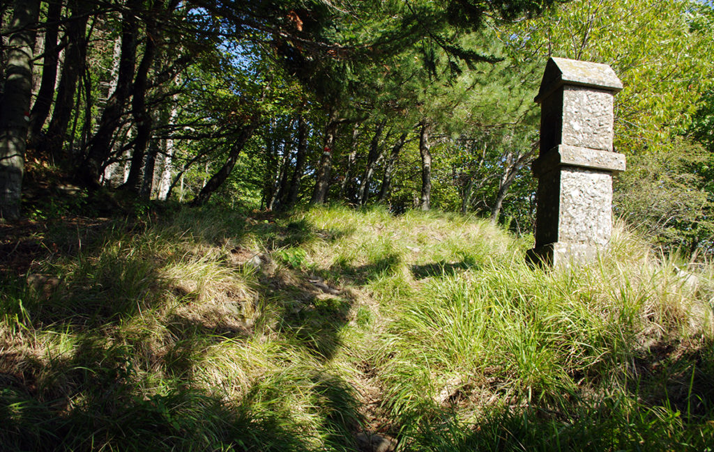
Departure from the centre of Granaglione, piazzale Bovecchia, head towards the Rasa sports ground or heliport, follow mark CAI 197. Being a recent trek, this is not shown in the map yet but white and red CAI colors marks along the path are very neat.
The trek rises up to 1157 meters a.s.l. on top of Monte Prati where you will find the CAI 103 trek.
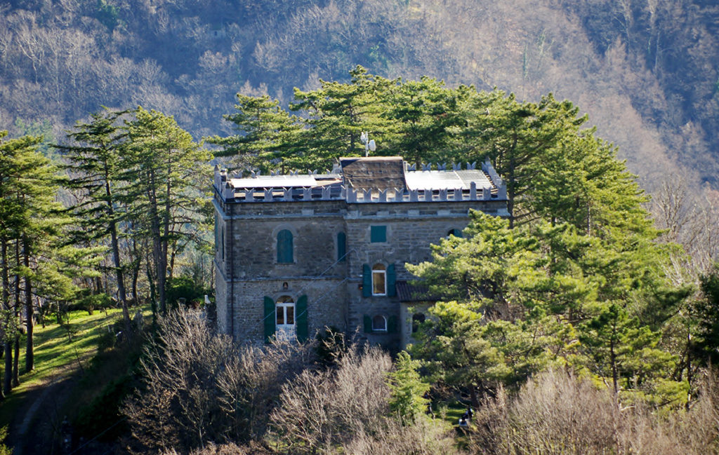
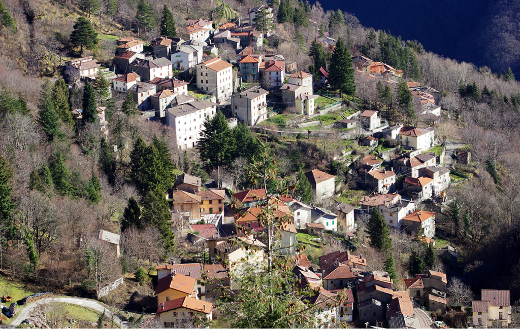
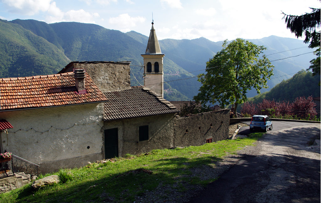
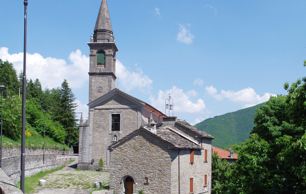
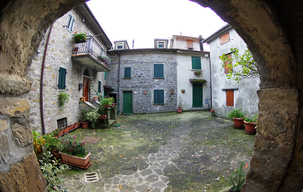
Head right towards Monte Granaglione, follow the path that goes down to Sasso della Corona (Borgo Capanne), here you will take the CAI 103a trek leading to Lustrola. Lustrola is worth a visit: the Church of San Lorenzo, the Via di Mezzola and the upstream and downstream stretches of Via di Mezzola. Please visit the Pro Loco di Lustrola web site for more details.
Go down the road 64 towards Granaglione, in 2 kms you will reach the Church of San Nicolò. In Granaglione, beyond the Church and the oratory, you can visit the grandparent’s house of Guglielmo Marconi, Piazza Navona , Borgata Villa, Montagna and the mill of Rio Bovecchia.
USEFUL TIPS
Like most hiking treks in Granaglione it is advisable to wear boots, long pants and wind jackets.
Stay safe with the GeoResQ app: this GPS based tracking service is run by the National Alpine and Speleological Rescue Organisation (CNSAS) and recommended by the Italian Alpine Club (CAI).
